

Sale!


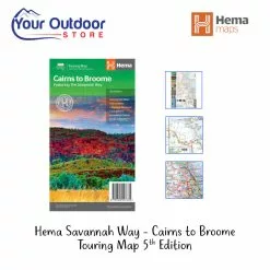

Hema Savannah Way – Cairns To Broome 5th Edition Touring Map
Original price was: $12.95.$9.07Current price is: $9.07.
- Safe Transactions, Happy Customers
- Fast reliable delivery options
- Unbeatable Quality, Unbeatable Value
- Buy with Peace of Mind

Description
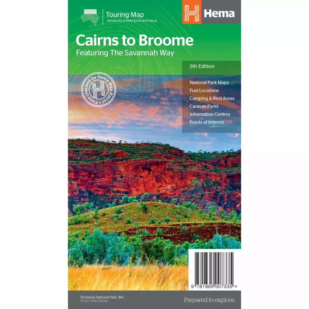
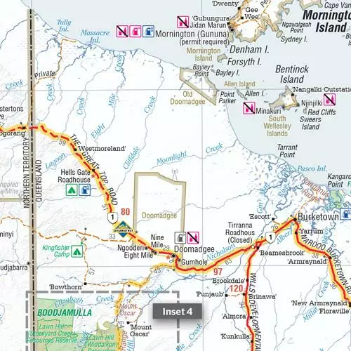
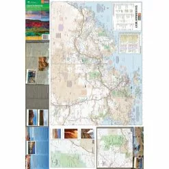
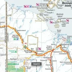
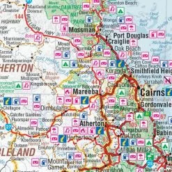
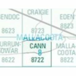
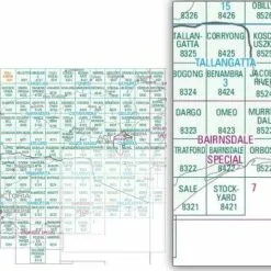
A touring map for the trip along the Savannah Way between Cairns and Broome at a scale of 1:2,200,000. The maps show 24-hour fuel, outback fuel and LPG as well as caravan parks, camping areas and rest areas. Popular national parks along the route are featured with detailed inset maps of Judbarra/Gregory, Purnululu, Kakadu and Boodjamulla. Also included are contact details for accredited information centres and useful lists of the facilities in national parks.
Features
- The Savannah Way
- National Park maps and info
- Distance charts
- Information centres
- Fuel stops
- Caravan Parks, camping and rest areas
Specifications
| Edition | 5th |
|---|---|
| Publication Date | 01/05/2014 |
| Scale | 1:2,200,000 |
| Folded Size | 140 mm W x 250 mm H x 3 mm D |
| Flat Size | 700 mm W x 1000 mm H |
| Weight | 0.09 kg |
Be the first to review “Hema Savannah Way – Cairns To Broome 5th Edition Touring Map”
Related products
Sale!

Original price was: $16.25.$11.38Current price is: $11.38.
Sale!
Original price was: $16.25.$11.38Current price is: $11.38.
Sale!
Original price was: $16.25.$11.38Current price is: $11.38.
Sale!
Original price was: $16.25.$11.38Current price is: $11.38.
Sale!
Books & Maps
Original price was: $9.95.$6.97Current price is: $6.97.
Sale!
Original price was: $10.00.$7.00Current price is: $7.00.
Sale!
Original price was: $29.99.$20.99Current price is: $20.99.
Sale!
Original price was: $16.25.$11.38Current price is: $11.38.
Reviews
There are no reviews yet.