
Sale!
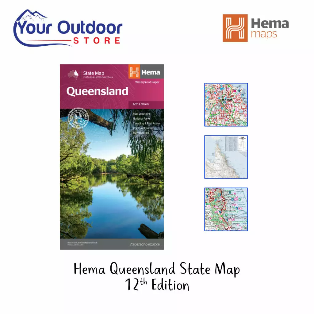
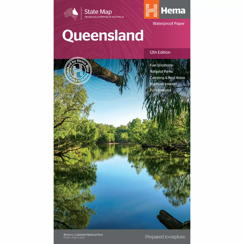


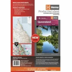
Hema Queensland Australia Waterproof State Map 12th Edition
Original price was: $14.95.$10.47Current price is: $10.47.
- Safe Transactions, Happy Customers
- Fast reliable delivery options
- Unbeatable Quality, Unbeatable Value
- Buy with Peace of Mind

Description
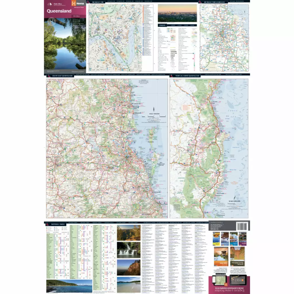
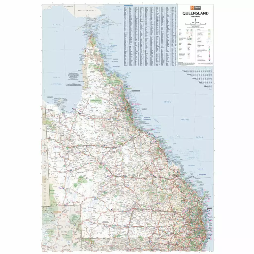
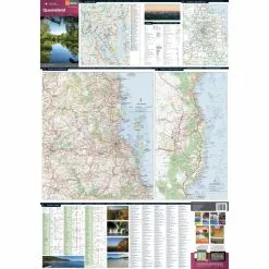
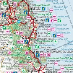
A touring map of Queensland for travelling throughout the state that has camping and rest areas, 24-hour fuel and points of interest marked on the mapping.
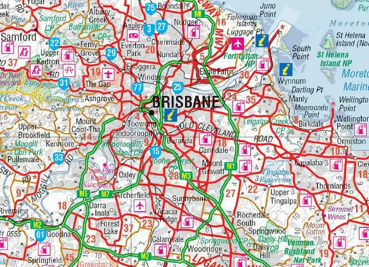
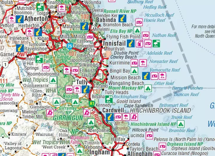
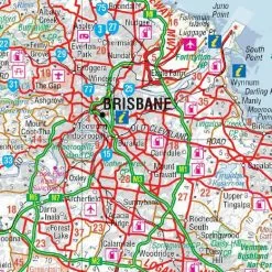
On the reverse are Brisbane through road and CBD maps, a South-East Queensland map and a Tropical North Queensland map, while national parks and information centres are listed as well.
Features
- Fuel Locations
- National parks
- Camping & Rest Areas
- Points of Interest
- Fully indexed
- Waterproof Paper
Specifications
| Edition | 12th |
|---|---|
| Publication Date | 01/07/2014 |
| Scale | 1:2,500,000 |
| Folded Size | 140 mm W x 250 mm H x 3 mm D |
| Flat Size | 700 mm W x 1000 mm H |
| Weight | 0.09 kg |
Be the first to review “Hema Queensland Australia Waterproof State Map 12th Edition”
Related products
Sale!
Original price was: $39.95.$27.97Current price is: $27.97.
Sale!

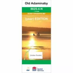
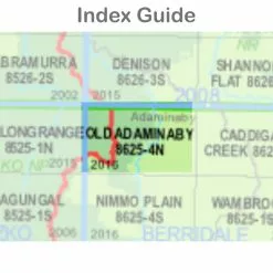
Original price was: $16.25.$11.38Current price is: $11.38.
Sale!
Original price was: $16.25.$11.38Current price is: $11.38.
Sale!
Original price was: $50.00.$35.00Current price is: $35.00.
Sale!
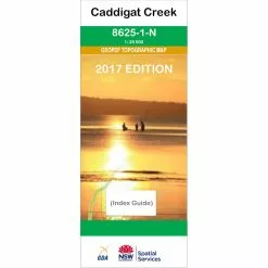
Original price was: $16.25.$11.38Current price is: $11.38.
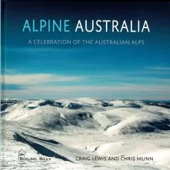
Sale!


Assorted Books
Original price was: $42.95.$30.07Current price is: $30.07.
Sale!

Original price was: $16.25.$11.38Current price is: $11.38.
Sale!
Original price was: $16.25.$11.38Current price is: $11.38.
Reviews
There are no reviews yet.